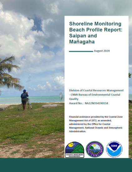
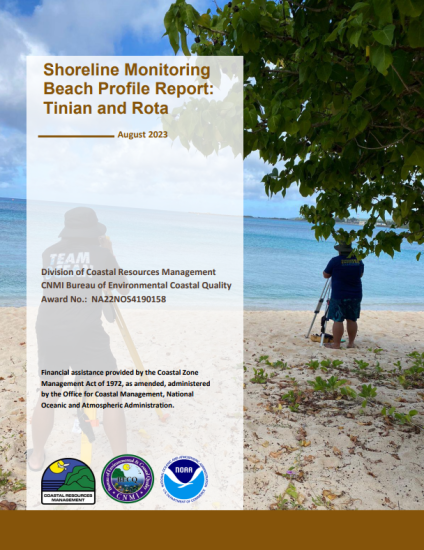
Shoreline Monitoring
Beaches in the CNMI are important coastal resources connecting visitors and residents to the ocean. These natural spaces have high recreational, aesthetic, ecological, economic, subsistence, and cultural value. Sediment naturally moves within the coast and ocean. The width and shape of the coastline are ever-changing dependent on the natural and man-made features present in the coastal system.
Beaches are natural defense from waves. Swells and storms drive high energy waves into the shore and increase shoreline movement. For certain beaches, erosion threatens nearby infrastructure close to the waterline and presents issues to users. Storm-driven erosion is the primary cause of significant beach loss in the CNMI.
A strong example of coastal erosion is the actively eroding Hyatt Regency to Crowne Plaza Resort site, as shown in the photo above. Each powerful storm chipped away the berm and the backshore area, reducing the width of the beach. The sand more than likely has been pulled into the water and may contribute to sand bar deposit somewhere off-shore. However, the sandy nearshore beach width may return depending on the seasonal coastal processes.
The loss of sandy beach may indicate the vulnerability of beachfront communities and infrastructure to storm surges and coastal erosion now and into the future. The retreat of coastlines worldwide is a response to global sea level rise.
DCRM regulates proposed development in the shoreline area (from the high tide line to 150 feet in-land). Given the complexity of coastal dynamics influenced by various factors within the terrestrial and marine landscape, such as the Saipan Lagoon, data is necessary for influencing coastal management decisions.
about the program
Since 2016, DCRM’s Shoreline Monitoring program surveys 17 beaches on Saipan, 9 beach transects on Mañagaha, 2 beaches on Tinian, and 4 beaches on Rota.
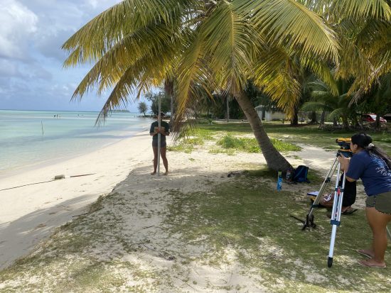
The team uses the Berger surveying method to identify, measure, and track changes within these sites. This data is developed into beach profiles for comparison. Through taking bi-annually beach profiles all of our target sites, we aim to understand our islands’ shoreline dynamics and report our findings yearly for data-driven decision making.
Our team comprises of DCRM staff, student interns, and volunteers. We acknowledge the notable contribution of Northern Marianas College and DCRM Summer Interns throughout the years to collect field data necessary for beach profiles and analysis.
VIDEO: Shoreline Monitoring Importance to DCRM’s Mission
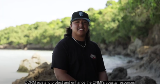
VIDEO: How DCRM Monitors Beaches
Narrated and developed by 2023-2024 Northern Marianas College interns

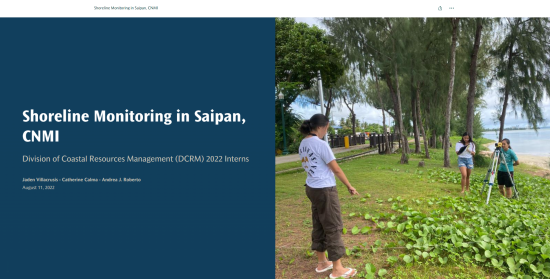
2022 Shoreline monitoring program story map
Check out our interactive Story Map to read on DCRM’s beach profiling method and view the beach profiles for each beach monitoring site.
THE STATE OF THE SHORELINE – BASED ON DCRM’S SHORELINE MONITORING
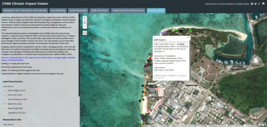
sHORELINE TRENDS MAP
View the “Shoreline Trends” of the Climate Impact Viewer to see which sites have been eroding, accreting, exhibiting stability, or undetermined, and more!
shoreline MONITORING BEACH PROFILE REPORTS
Click on any of the thumbnails below to view the detailed beach profile interpretations of the team for Saipan, Tinian, and Rota.
DCRM’s Beach Profile reports interpret beach profile information produced from our on-the-ground beach surveys. Beach profiles show how the area is growing, losing, or staying the same throughout time.
a low cost beach profiling alternative
beach profile activity
DCRM developed this Beach Profile Activity for educators to bring shoreline monitoring to the classroom.
The method has been simplified to an affordable version of our field surveying procedure.
Students will gain hands-on experience on the importance of sandy shoreline and conceptualize how climate change impacts erosion. Available for download here.
Other local studies involving our shorelines are found on the Shoreline Publications page.
Contact us
We welcome requests for educational presentations or any questions regarding the program and its products.
Please contact the shorelines@dcrm.gov.mp or call 670-664-8300.
Terms on this page:
Accretion – The gradual addition of land by deposition of water-borne sediment
Berm – The nearly horizontal portion of the beach or backshore formed by the deposit of materials by wave action. Some beaches have no berms. In the CNMI, the berm is a vertical drop.
Beach Profile – The cross-sectional shape of a beach plotted perpendicular to the shoreline
Berger Level – The nearly horizontal portion of the beach or backshore formed by the deposit of materials by wave action. (In the CNMI, the berm is a vertical drop.)
Coastal Hazards – Phenomena that threaten structures, property, and the environment under extreme weather and water conditions
Coastal Planning – Planning process used to create informed management decisions for zoned coastal area. In the CNMI, all of Saipan, Tinian, and Rota are within the coastal zone.
Erosion – The wearing away of land and the removal of beach (or dune) sediments by wave action, tidal currents, drainage, or high winds
Headstake – The starting point of a transect. Usually marked on a tree or fixed point in paint
Rod Level – Used with a leveling instrument to determine the difference in height between points
Storm Surge – Abnormal rise in seawater level during a storm, measured as the height of the water above the normal predicted astronomical tide
Transect – A straight line or narrow section across the earth’s surface along which observations are made or measurements are taken
Vulnerability – The likelihood of people, property, industry, resources, ecosystems, or historical buildings and artifacts to coastal hazard impacts, such as shoreline erosion