Addressing Coastal Hazards
What are Coastal Hazards in the CNMI?
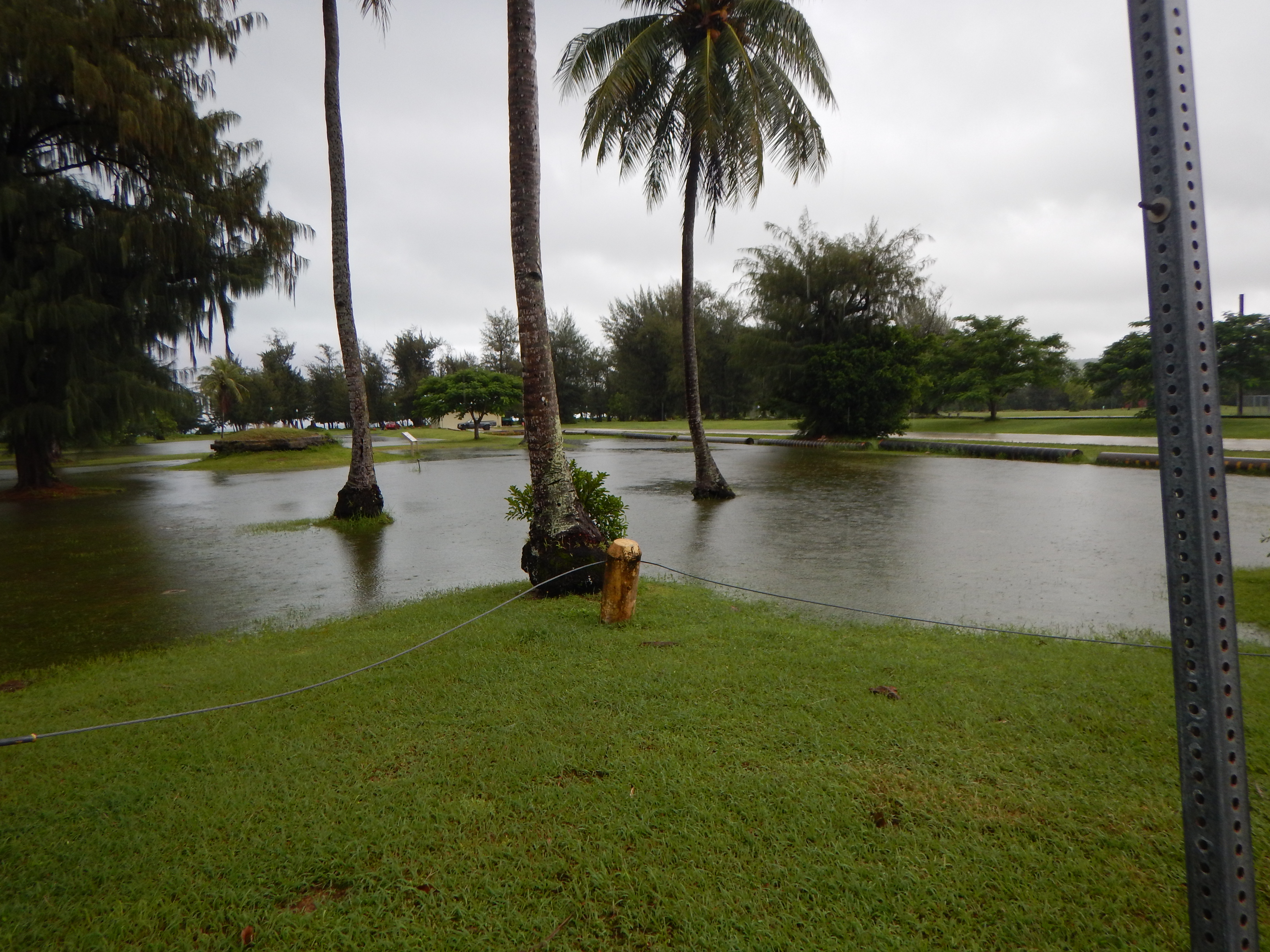
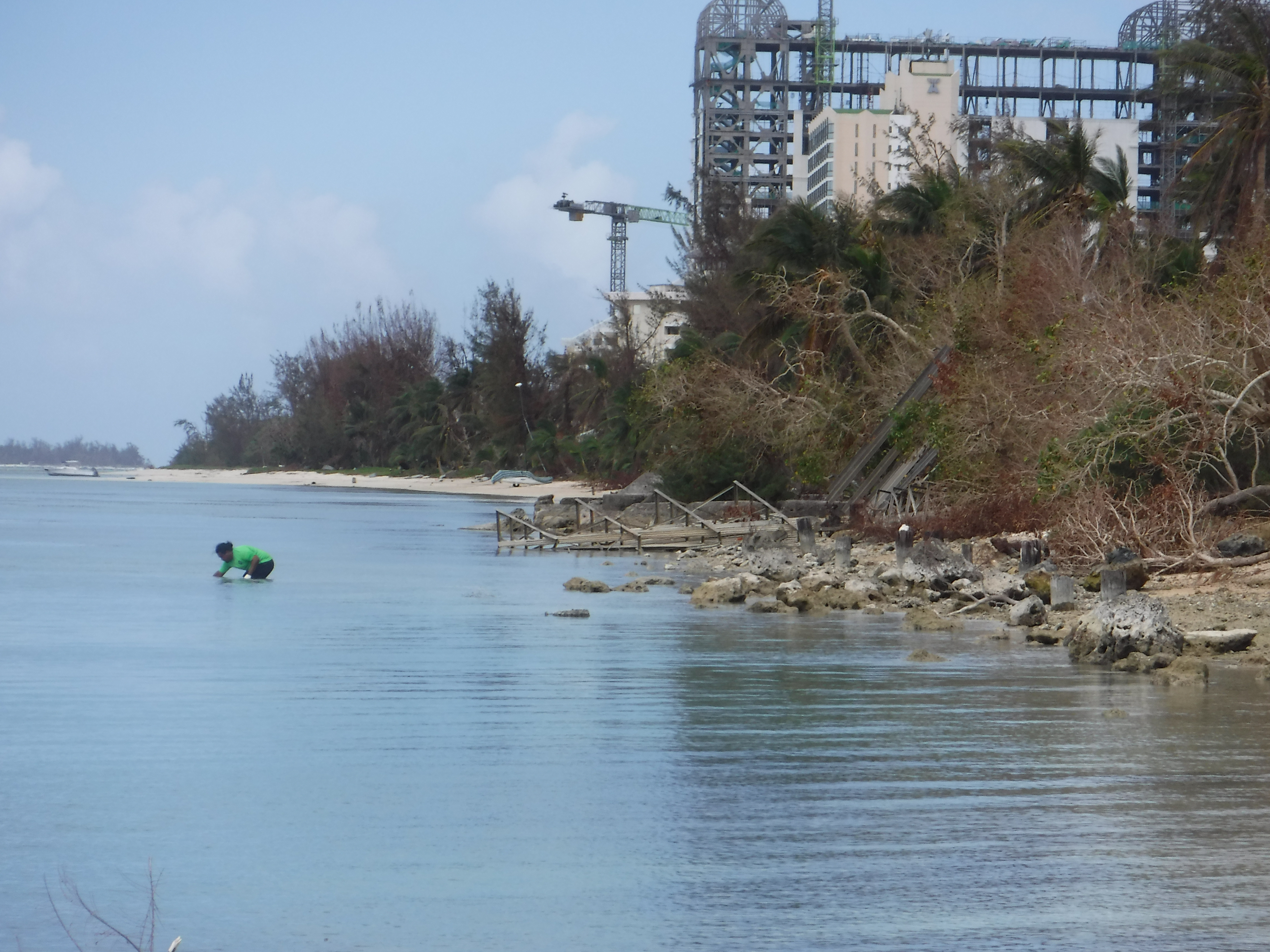
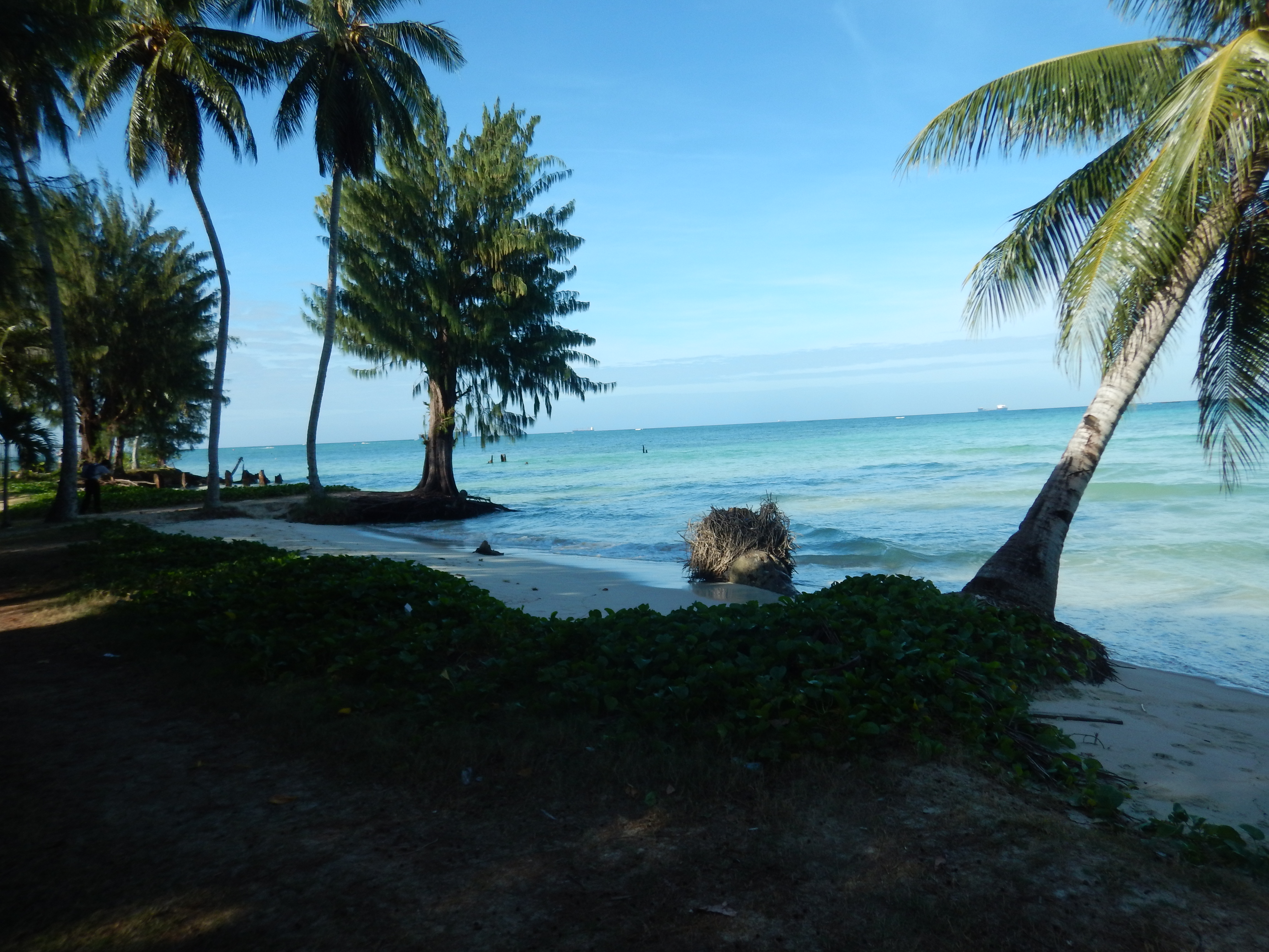
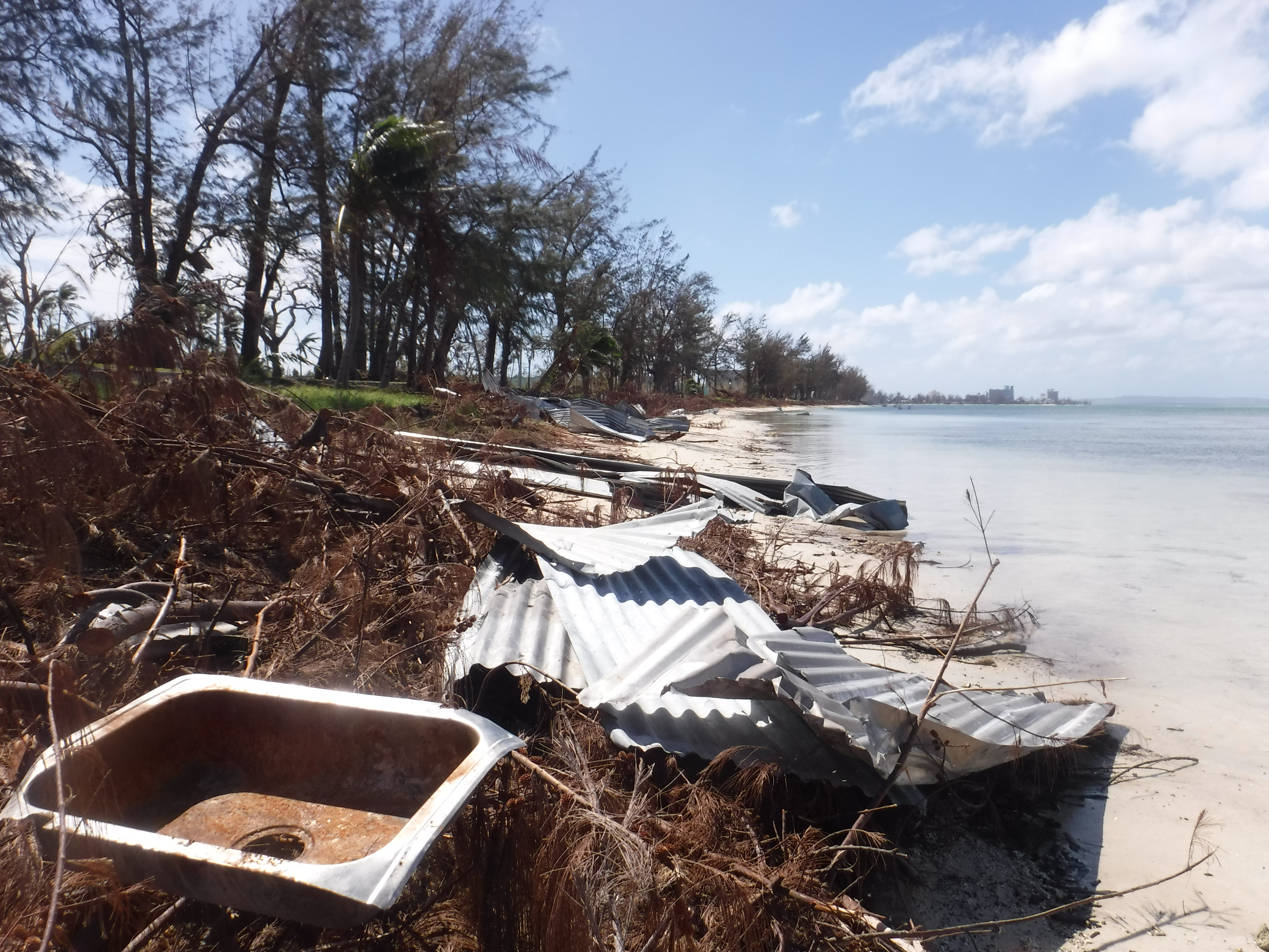
Typhoon, flooding, storm surge, coastal erosion, sea level rise are a handful of coastal hazards threatening our island communities. As a coastal community, the CNMI is vulnerable to hazards influenced by our dynamic ocean and tropical climate. Located in West Pacific Typhoon Alley, the CNMI commonly receives typhoons during the annual wet season. Typhoon Soudelor (2015) and Super Typhoon Yutu (2018) are serious reminders of how intense typhoons can impact property, livelihoods, and the environment. Shoreline erosion exposes nearby residential and economically-valued infrastructure to storm surge. Projected sea level rise will inundate low-lying areas, such as Tanapag, Garapan, and Susupe. Moderate to high flooding events may damage commercial and residential infrastructure. Polluted storm water runoff degrades water quality and coral health. Climate change will worsen and increase our community vulnerabilities to these hazards. The Pacific Islands Regional Climate Assessment’s Climate Change in the Commonwealth of the Northern Mariana Islands (2021) provides scientific insight into how current and future climate change impacts the CNMI and reports management recommendations.
Government agencies, both local and federal, are working collaboratively to address coastal hazards and ultimately bolster community resilience to coastal hazards.
How is DCRM Addressing Coastal Hazards?
Managing development in coastal hazard-prone areas
DCRM considers Coastal Hazards as an Area of Particular Concern (APC).
DCRM currently defines Coastal Hazards APC using coastal high hazard flood zones (V & VE) from Federal Emergency Management (FEMA) Flood Insurance Rate Maps (FIRMs). Visit the interactive Public Permitting app to view the current Coastal Hazards APC Layer.
The CNMI Climate Viewer is a helpful tool showcasing coastal inundation areas, coral bleaching, social vulnerability, and shoreline erosion data:
Through DCRM’s Permitting process, proposed development within the Coastal Hazards APC must adhere to appropriate building codes and ensure that public safety is prioritized. Shoreline dependent projects must abide by the following setbacks from the high waterline:
- A) 0-35 ft to maintain beach and shoreline for public access and recreations with structures generally prohibited;
- B) 35-100 ft to allow for the continuation of the shoreline area with vertical construction prohibited;
- C) 100-125 ft to only allow single-story structures not exceeding 12-ft in height with water quality and shoreline dynamics carefully considered through the Mitigation Hierarchy.
Conditions placed in the Coastal Hazards APC permit may allow enhancement of shoreline areas. These include consideration of living shorelines and nature-based solutions for addressing on-going erosion, or storm water mitigation measure to prevent pollution from flowing into the lagoon.
Coastal hazards continue to be a priority enhancement area of NOAA’s Coastal Zone Enhancement Program (309) in the CNMI. From the 2016-2020 309 Assessment and Strategy, important inter-agency work emerged in addressing Coastal Hazards, such as the Low-Impact Development Best Management Practices Report, Sustainability Guide for the Hospital Industry, and the Guidance Manual for Smart, Safe Growth in the CNMI.
UPDATING THE coastal hazardS AREA OF PARTICULAR CONCERNS (IN PROGRESS)
The current 309 cycle, as described in the 2021-2025 Section 309 Assessment and Strategy Report, continues to prioritize Coastal Hazards through updating the APC layer with updated FEMA Flood Insurance Rate Maps (FIRMs) and integrating coastal erosion. In 2022- 2023, the DCRM Planning team analyzed existing coastal hazards information and engaged stakeholders (partnering agencies and the interested public) to inform prioritization of which additional coastal hazards should be integrated into the Coastal Hazards APC boundaries update.) These results are described in the CNMI BECQ-DCRM’s § 309 Assessment & Strategy Coastal Hazards Inventory & Analysis White Paper Report, which is available upon request.
guiding and Incentivizing better building practices
The Better Buildings guidebook is available to inform developers of best management building practices for reducing storm water, increasing typhoon resilience, and lessening other environmental impacts.
The Better Buildings incentives program is an incentives-related opportunity for developers applying for the Major Sitings permit to receive a discount by considering best management building practices into their project.
supporting hazard mitigation efforts in the cnmi
DCRM participates and supports hazard mitigation planning projects coordinated by other local government agencies, such as the Hazard Mitigation Grant Program and Office of Planning and Development.
The Office of Planning and Development are pushing for sustainable development grounded in Smart, Safe Growth principles (such as climate change, green infrastructure, and ecosystem systems) through the Comprehensive Sustainable Development Plan.
Contact the dcrm planning team: planning@dcrm.gov.mp
Helpful Resources:
Coastal Hazards, Climate, and Shoreline Change Resources & Publication page: https://dcrm.gov.mp/resources-publications/coastal-hazards-climate-change-and-shoreline-change/
Sustainable Development Resources & Publication page: https://dcrm.gov.mp/resources-publications/sustainable-development/
Shoreline Publications Resources & Publication page: https://dcrm.gov.mp/resources-publications/shoreline-publications/


